Turkey Creek Nature Preserve
Nearby Cities: Pinson
Jefferson County
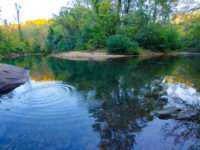
The Boy Scout Trail follows a scenic route on the Turkey Creek’s bank from the Falls to Vermilion Run. Difficulty: Easy, contains some uneven surfaces and can be slippery. Length: 0.35 miles. Hiking Only, Dogs allowed, benches, Picnic Tables, Restrooms …
learn more
Nearby Cities: Pinson
Jefferson County
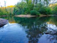
The Hanby Hollow Trail is one of the Turkey Creek Nature Preserve’s 5 trails. The Preserve’s trails provide plenty of opportunity for recreation, exercise, research, and education. Information about the trails, including difficulty, length, and what us …
learn more
Nearby Cities: Pinson
Jefferson County
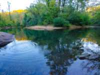
Highland Trail: A short paved trail that follows along the highland ridge of Turkey Creek Nature Preserve. Difficulty: Easy, contains some moderate elevation ascents/descents. Length: 0.38 miles Road biking, Mountain biking, Hiking, Dogs allowed, bench …
learn more
Nearby Cities: Pinson
Jefferson County
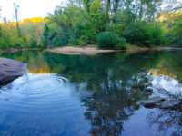
Narrows Ridge Loop Trail is a professionally designed and built trail that is open to mountain bikers and hikers. Starting at the Blue Hole, this path follows the Narrow Ridge along beautiful rock across towering mountain long-leaf pine forests and loops back down to the Blue Hole to complete a loop.
learn more
Nearby Cities: Pinson
Jefferson County
Thompson Trace Trail follows the upper ridge above the Falls from the Highlands Recreational Area to the Falls recreational area. The Thompson Trace Trail can be used in conjunction with the Hanby Hollow trail as a loop. This trail is rated as Easy, bu …
learn more
Nearby Cities: Pinson
Jefferson County
The TCNP’s 5 trails provide plenty of opportunity for recreation, exercise, research, and education. Information about the trails, including difficulty, length, and what user group each trail is open to is provided at any of the Kiosk (i) located withi …
learn more
Nearby Cities: Pinson
Jefferson County
The TCNP’s 5 trails provide plenty of opportunity for recreation, exercise, research, and education. Information about the trails, including difficulty, length, and what user group each trail is open to is provided at any of the Kiosk (i) located withi …
learn more


